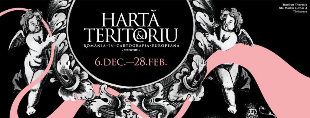
6th December 2018 – 28th February 2019
Opening: 6th December 2019
The National Museum of Banat, Theresia Bastion, no.4 Martin Luther street, Timișoara
Curator: Josef Wolf
Works from the collections:
Dr. Ovidiu Șandor (Timișoara)
Dr. Lucian Ștefan (Ulm)
“A.D Xenopol” County Library Arad
“Lucian Blaga” Central University Library Cluj-Napoca
The exhibition brings together 120 original maps, the oldest one dating from 1478, and the most recent from 1879. The exhibition offers visitors a unique tour of the history of the Romanian principalities, from the first territorial unifications and culminating with what Romania means as a state. Thus, the theme of the exhibition reflects the way in which the Romanian territories are presented by European cartographers and the way in which their evolution is interpreted. In the context of the Centenary celebrations, the present exhibition is a contemporary one, through the theme and the visual approach it proposes, bringing into discussion the various historical stages that the country has experienced.
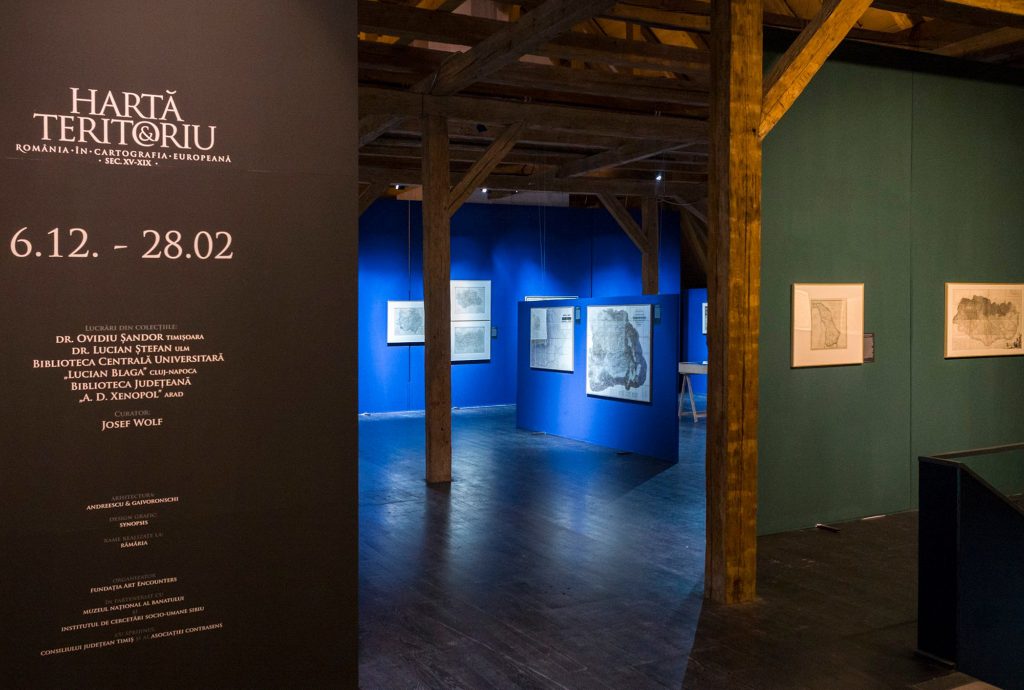
Exhibition view. Photo credit: Dana Dohotaru 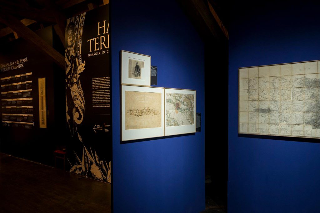
Exhibition view. Photo credit: Dana Dohotaru 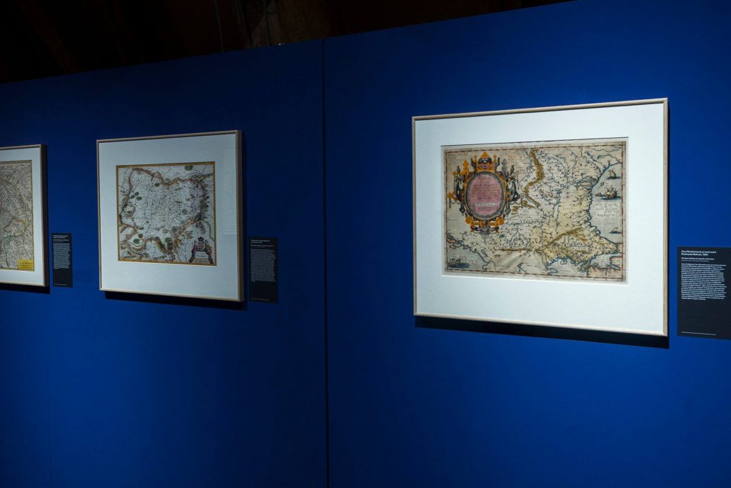
Exhibition view. Photo credit: Dana Dohotaru 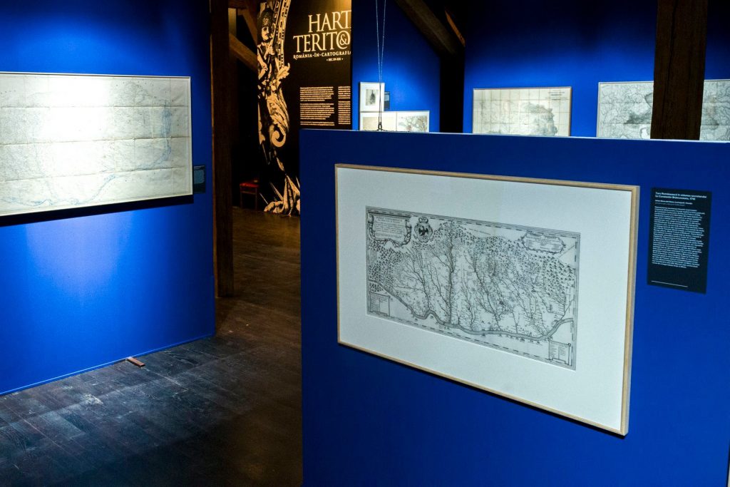
Exhibition view. Photo credit: The National Museum of Banat 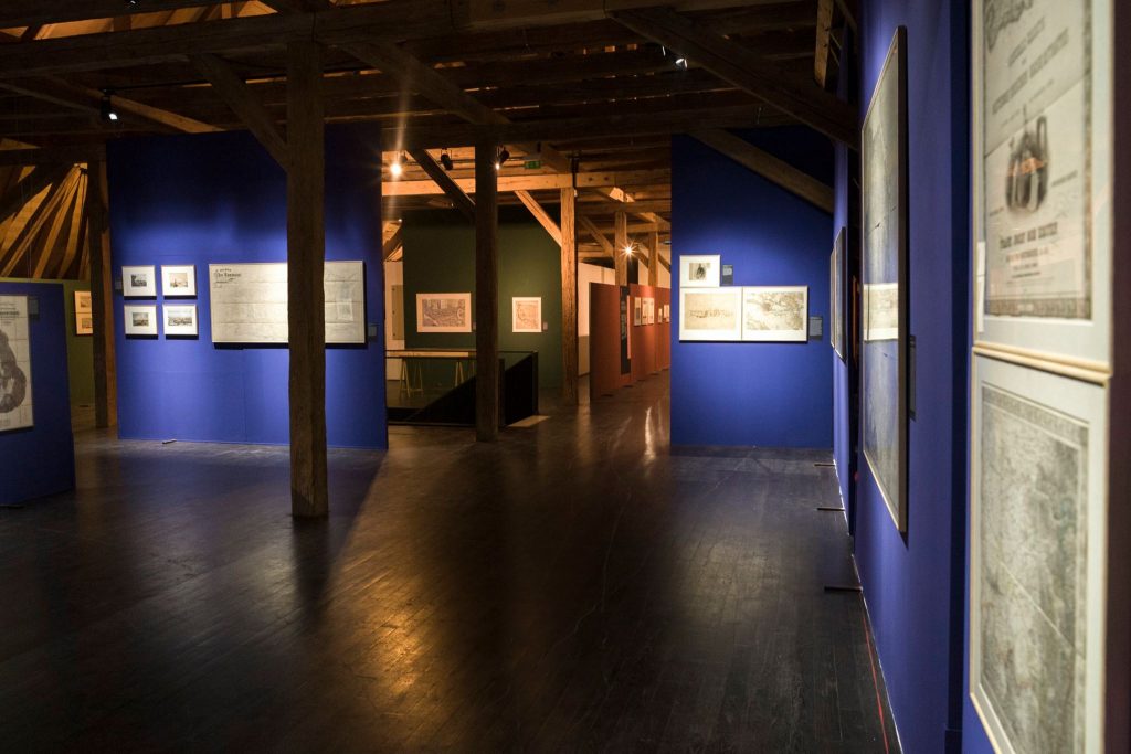
Exhibition view. Photo credit: The National Museum of Banat 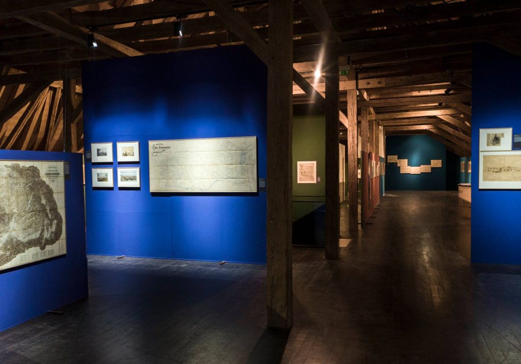
Exhibition view. Photo credit: The National Museum of Banat 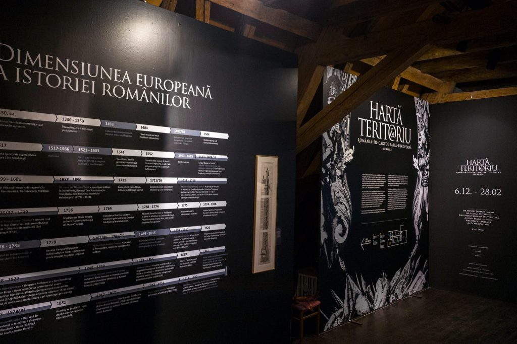
Exhibition view. Photo credit: The National Museum of Banat 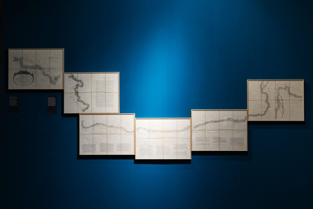
Exhibition view. Photo credit: Dana Dohotaru 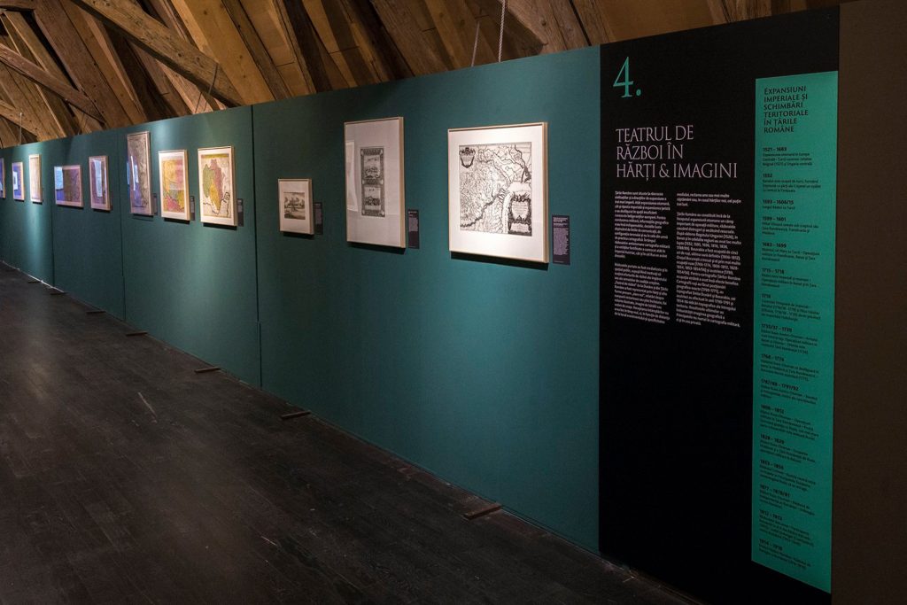
Exhibition view. Photo credit: The National Museum of Banat 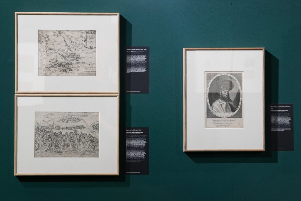
Exhibition view. Photo credit: Dana Dohotaru
Organizers: Art Encounters Foundation, National Museum of Banat Timișoara, Institute of Social Sciences and Humanities Sibiu
With the support of Timiș County Council
Partner: Contrasens Association
Graphic design: Synopsis Media
Wall text: Techside